Rivers and Canyons, Utah

Utah's Canyon Country
The most spectacular aspects of the Utah landscape are the hidden treasures found within its vast canyon networks. The canyons are composed of a spell-binding labyrinth of towering walls, arches, and slot canyons just waiting to be explored. On course, these vibrant formations are a geological playground for scrambling and teamwork. The desert ecosystem is characterized by aromatic plants like sagebrush and juniper and birds soaring high above canyon walls. The days can be hot in the summertime, but it always cools down in the evenings. These regions are within the ancestral lands of the Ute, Pueblos, Southern Paiute, Diné, and Hopi nations.
Watch: Colorado Outward Bound School in the Southwest
Utah Course Locations
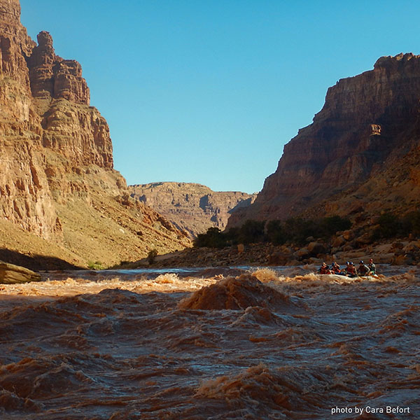
Cataract Canyon of the Colorado River
One of the most rugged and beautiful canyons in the Western United States, Cataract Canyon cuts through the heart of Canyonlands National Park. Natural wonders and ancient ruins can be found along the way in addition to the 31 world-class rapids, including the famous Mile Long Rapids and “the Big Drops."
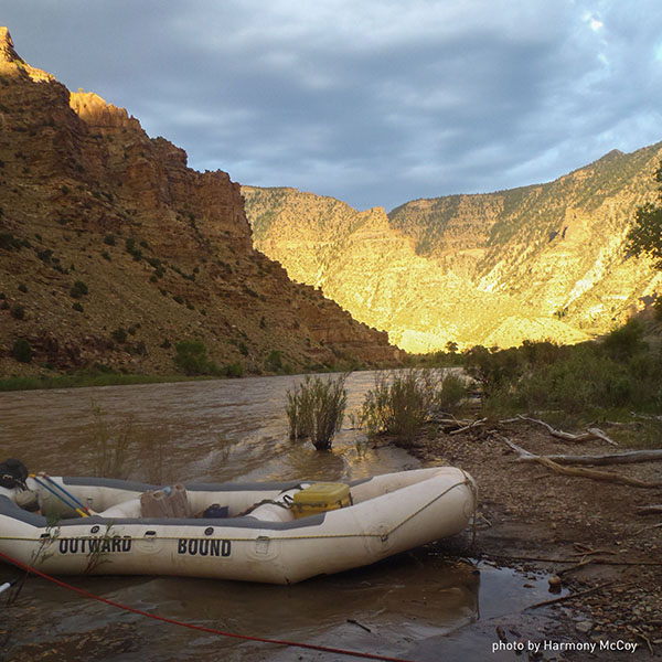
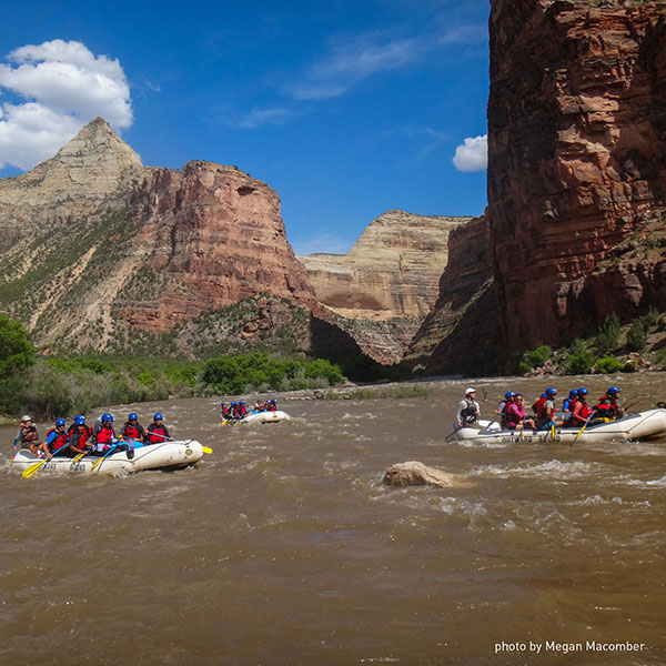
Gates of Lodore on the Green River
Red sandstone escarpments rise up 2,000 feet above the river as it carves a 45-mile course of raging rapids through three dramatic canyons and Dinosaur National Monument. Students will have the opportunity to encounter towering cliffs and petroglyphs from the Fremont Indians, who called these canyons home over 1,000 years ago.
Desolation & Gray Canyons on the Green River
Deeper in some spots than the Grand Canyon, Desolation Canyon is characterized by spectacular rock formations, petroglyphs, and abandoned ranches. The tiered rock walls of Desolation give way to the earthy bluffs of Gray Canyon, creating a striking contrast in scenery.
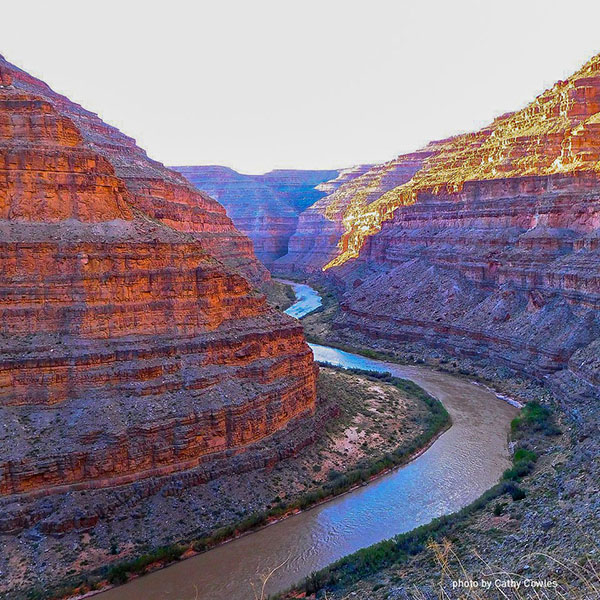
San Juan River
The San Juan River in southern Utah, a major tributary of the Colorado River, flows 83 miles through the deeply incised sandstone slick rock country of the Colorado Plateau in many tight bends. The San Juan is world renowned for archaeological sites of ancient Indians featuring both petroglyphs and spacious cliff dwellings accessible on side hikes from the river. The San Juan River is also well known for its exquisite natural scenery as you’ll soon find out once you are deep within the towering canyon walls.
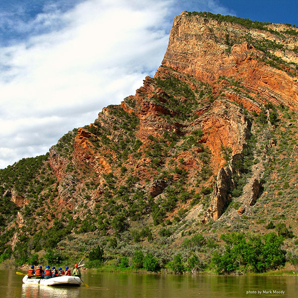
Yampa River
There are few rivers in the United Stated that flow free without dams, highways, railroads, or other manmade creations. The Yampa is one of them! It's also the only major tributary of the Colorado River without a dam controlling its flow. On the Yampa, students paddle through deep sandstone gorges and class II-IV whitewater rapids that are highly sought-after in the river running community, making for an unforgettable experience.
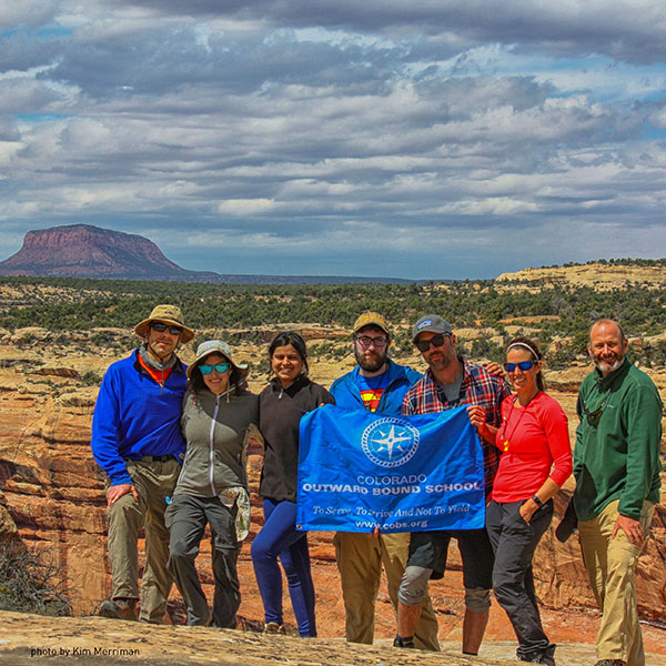
Cedar Mesa (Bear's Ears National Monument)
A large plateau called Cedar Mesa lies just north of the San Juan River in southeast Utah. The landscape is filled with sandstone that has been eroded into an endless variety of mesas, towers, grottos, hoodoos, arches and canyons. The canyons abound with hidden wonders: clear springs seeping from the rock, gnarled junipers, delicate soils that host communities of life, the powerful silence, hues of varnish creating tapestries of the canyon walls, stunning sunsets and much more.
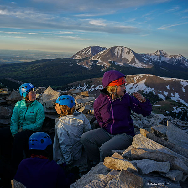
La Sal Mountains
The La Sal Mountains rise dramatically out of the desert, towering 9,000 feet above the surrounding canyonlands and the sporting mecca of Moab. The La Sals are known for their groves of aspen, rich amount of wildlife, high summits and incredible views overlooking Canyonlands and Arches National Parks and the Four Corners area. Hidden lakes dot the landscape. Peaks in the La Sals range from 10,000 to just under 13,000 feet and include the highest peaks in Southern Utah.
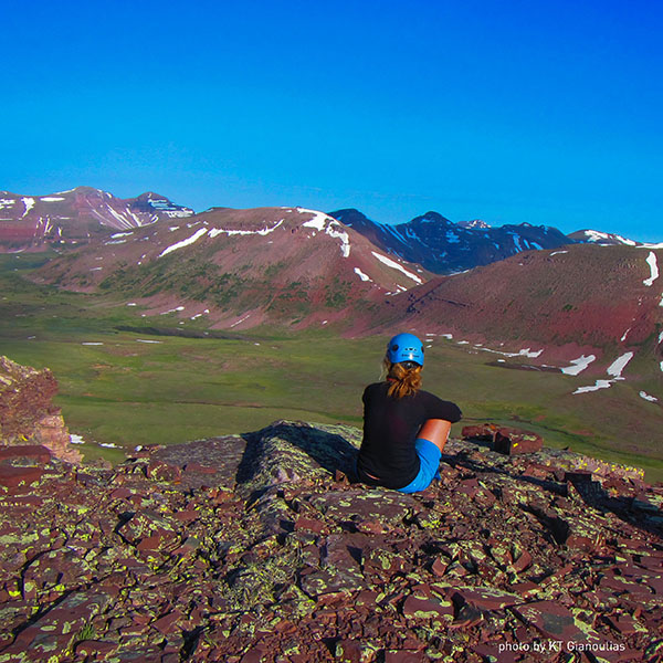
Uinta Mountains
The Uintas are Utah's highest mountain range with Kings Peak rising more than 13,000 feet above sea level. The Uintas are dotted with alpine lakes and have vast expanses of terrain above treeline within one of Utah's largest designated wilderness areas.
Sign Up for Updates
Please fill out the form below to begin receiving our email newsletter.